


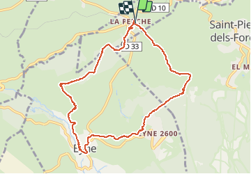

13.3 km | 19.3 km-effort


User


FREE GPS app for hiking
 SityTrail
IGN / Geographical institutes
SityTrail World
The world is yours!
Trail Walking of 11.2 km to be discovered at Occitania, Pyrénées-Orientales, La Cabanasse. This trail is proposed by ThonyM.
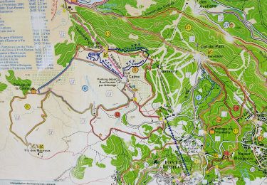
Magnifique neige pour une promenade tranquille


Walking

Walking

Snowshoes

Walking

Walking

Walking

Mountain bike

Walking
Walking